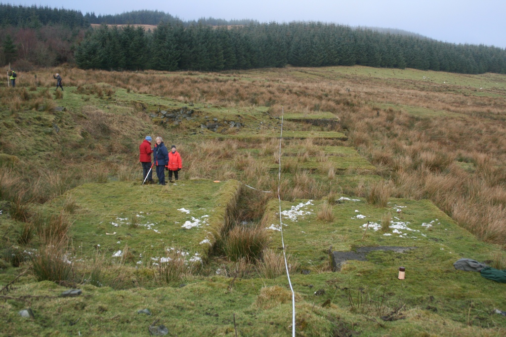
After spending twenty years walking the farmlands of Eaglesham Parish, 17 Occasional Papers have been completed. The final paper concentrated on the central area of the village itself the ‘Orry’ and its cotton mill. These were enjoyable years and many friendships were formed with the local farmers. We trudged through rain, hailstorms and sleet but we also spent days under glorious sunshine. Features surveyed took in all periods from the Bronze Age through to the Post Modern. Burnt mounds, Bronze Age cairns, Bronze/Iron age enclosures, deserted ruinous steadings, industrial buildings through to the present day were among features found and surveyed. The initial reason for field-walking, and ultimately surveying many sites in the parish, was to record features on the land before they disappeared due to their proximity to the south side of Glasgow and encroaching development. Over the years the South Orbital Road has been built through part of the farmlands, bridges and buildings have disappeared and fortunately these have been recorded before their demise. The Occasional Papers record details of the earliest cartographic evidence, historical and genealogical evidence from the Poll Tax Rolls of 1695 and old farm Rental Records etc. Many of the farmers allowed us to use old family photographs showing farming practices and machinery used in earlier times. We are now attempting to bring this information together in a book bringing out the most interesting accounts of our fieldwork.
The survey was completed in 2011 with a final survey of The Orry including the cotton mill site.
The survey directors are Susan and Robin Hunter.

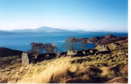
 ACFA’s first report on a settlement in Raasay was published in 1995 and we returned annually (except 2001 – Foot & Mouth restrictions) until the final survey in 2009 . A group of volunteers surveyed for a week and each year teams recorded the remains of an abandoned settlement while others field walked the surrounding area recording what they found beyond the settlement boundaries. The archaeology on Raasay is plentiful and varied, ranging from the Mesolithic through the pre-historic and early historic periods to industrial archaeology connected to the early 20th century iron mines. The Association eventually completed the survey of the whole island to provide a record of life and land use through the millennia.
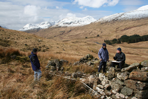
 Since a survey was undertaken in 1990 of the deserted township of Tirai and the immediate surroundings in Glen Lochay, ACFA has continued to survey parts of the Glen as well as the village of Milton of Lawers on Loch Tay side. Recent work has focussed on high shieling sites.
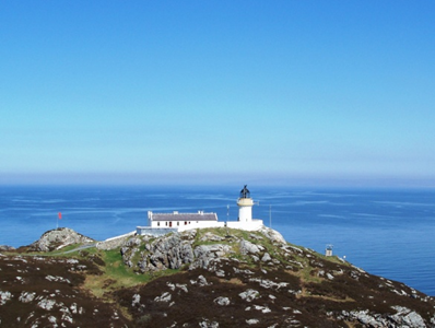
 At the finish of the Raasay survey in 2009, the obvious next stage was to tackle the survey of Rona, to the north, with its close population links with Raasay in the 19th century.
 In one of the best weeks enjoyed so far this spring, a team of nine returned to Rona, to complete the survey of the final township of Doire na Guaile in the far south of the island. As this involved a walk – in of almost an hour each day, it was planned that work and recovery days would be spaced out, and believed that with about 40 structures to plan at 1:100, we would we looking at a two year programme.