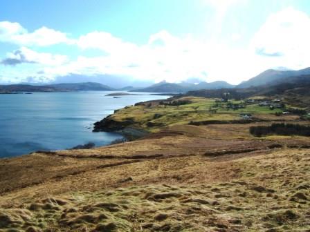
 Achnahannaid lies on the east coast of Skye on the road down to Braes. The survey was carried out in 2012 by some twenty ACFA volunteers.
The purpose was to determine whether there was any ecclesiastical connection with the township, as its name means the Field of the Church or perhaps the Field belonging to the Church. The church was possibly St Moluag’s which lies across the Sound on the Isle of Raasay.
Sadly no evidence either in the records or on the ground could be found to substantiate this theory.
The township, which appears on Blaeu’s map of 1640, was altered in 1810 by Lord Macdonald and laid out as eight crofts with an area of common grazing. It remains as such to the present day although only one man now crofts the township.
The survey using an EDM, produced an overall 1:1000 map of the area. Drawings of the individual structures were drawn at 1:100. Photographs were taken and detailed descriptions of the individual features were produced. Most of the structures were from 1810 onwards with the exception of a few remains lying in the common grazing. Some ninety features were recorded.
In addition to the field survey an extensive study was carried out in the various archives as to who owned which croft and when.
The findings were published as ACFA Occasional Paper No 121 in 2013.
Survey Directors John Macdonald & J. Scott Wood
